
 Trending on Xiaohongshu9.2
National Scenic Spot of Wanfenglin
GUIZHOU · XINGYITerraced karst peaks and a valley of fields. Come at first light, before the tour groups.
Turn this into a trip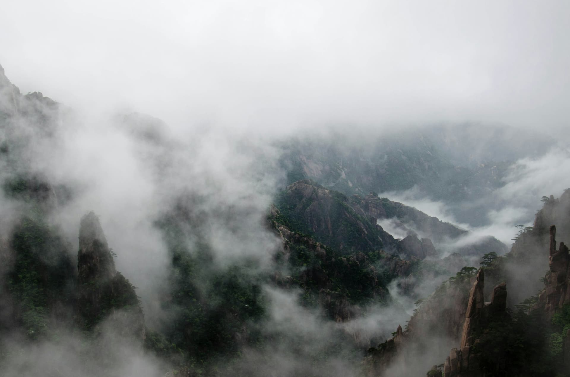
Then a licensed guide and car, only for the days that are hard to do alone.
Every place is a card, written and signed by a planner who lives here. InChina drafts only from the cards you pick, then checks every leg against the map, the timetable and the opening hours. What comes out is a trip you can walk.
Fixed prices · Confirmed within 24 hours · On the App Store, Android nextWhy we built this. The back corners, the people, and the kind of trip that makes sense.
Each one comes with its source: who wrote it, what it was checked against, who shows up.
Every place is a card, signed by a planner who lives there. Only in InChina.
 Signed by Ivy Chen · Dali & GuilinGrounded in real traveller reviews
Every train, opening hour and ticket price checked before it lands in your day.
Hotels, food, transport, weather, visas. One to one, in English.
Licensed agencies and certified guides, only on the days you need them.
Four sides to every place: what it is, what makes it worth the detour, what is trending right now, and where to stand for the photo. From a planner who has been.
Trending on Xiaohongshu9.2Terraced karst peaks and a valley of fields. Come at first light, before the tour groups.
Turn this into a trip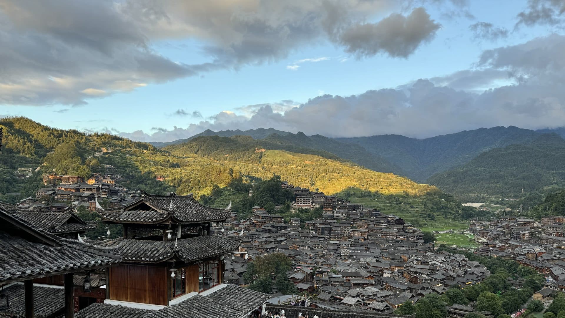



An outdoor travel enthusiast with ten years of solo travel experience.
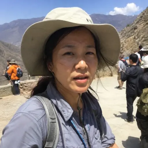
Chengdu local. Eight years on Sichuan's back roads, tells you what tour buses skip.

Hikes 30+ places on foot. Tells you which "old towns" are real and which are rebuilt.
Between Dali and Guilin, chasing light and weather. Honest about crowds and hype.
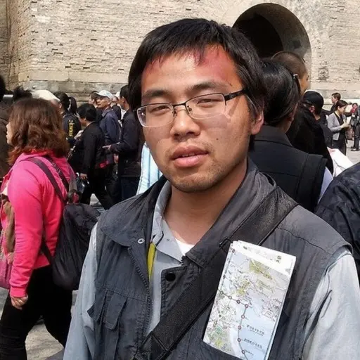
Beijing native, museum-trained guide. Knows the North and the Silk Road, minus the fluff.

Passionate about travel and sports, having visited over 40 cities across China solo, with a particular focus on the provinces of Hunan, Yunnan, and Guizhou.
Ask before you fly. Travellers and our planners are on Discord.
Real questions, answered by people who are in China right now.
InChina reads the same sources China runs on: Amap, the rail timetable, flight data. So the plan knows which station, which exit, which line, and which train costs less and still fits the day. Live translation for the moment you have to ask.
Which station, which exit, which line, which bus. Written out, not “head toward the old town.”
Times and fares come from the rail and flight networks. No high-speed trains that don't exist.
Maps, tickets, transit, and translation all back the plan, so you're not switching apps just to tell a driver where you're going.
Closed Mondays, passport needed at the gate, peak-season crowds, flagged before you're standing there.
Your plan shows which days are hard to do by train. Those are the days you can add a licensed guide, a car with a driver, or both.
Sample: Bilingual Guide $247 + Sedan with driver $142 = $389 a day (¥2,600), fixed. Two service days, two travellers, off-peak. US dollars at today's rate (¥6.69 per $1, 2026-10-10); the app shows the day's rate. Payment is taken in yuan.
From, per day (¥800). One national rate table, no regional pricing, no per-person surcharge.
Availability confirmed by a licensed agency. Nothing is charged until then.
Paid in the app once your dates are confirmed. It locks in the guide and the car for those days; the rest goes to the licensed provider on the day.
The minimum. Book a single day or several, no packages, no minimum spend, and travel accident insurance is included in the price.
Pick the one that sounds like you. There is a way in for each.
“I want every day mapped before I land.”
Pick your places and our planner builds a day-by-day trip you can walk: the right train, the station exit, the queue to skip. It all goes to plan, because there is one.
See how it plans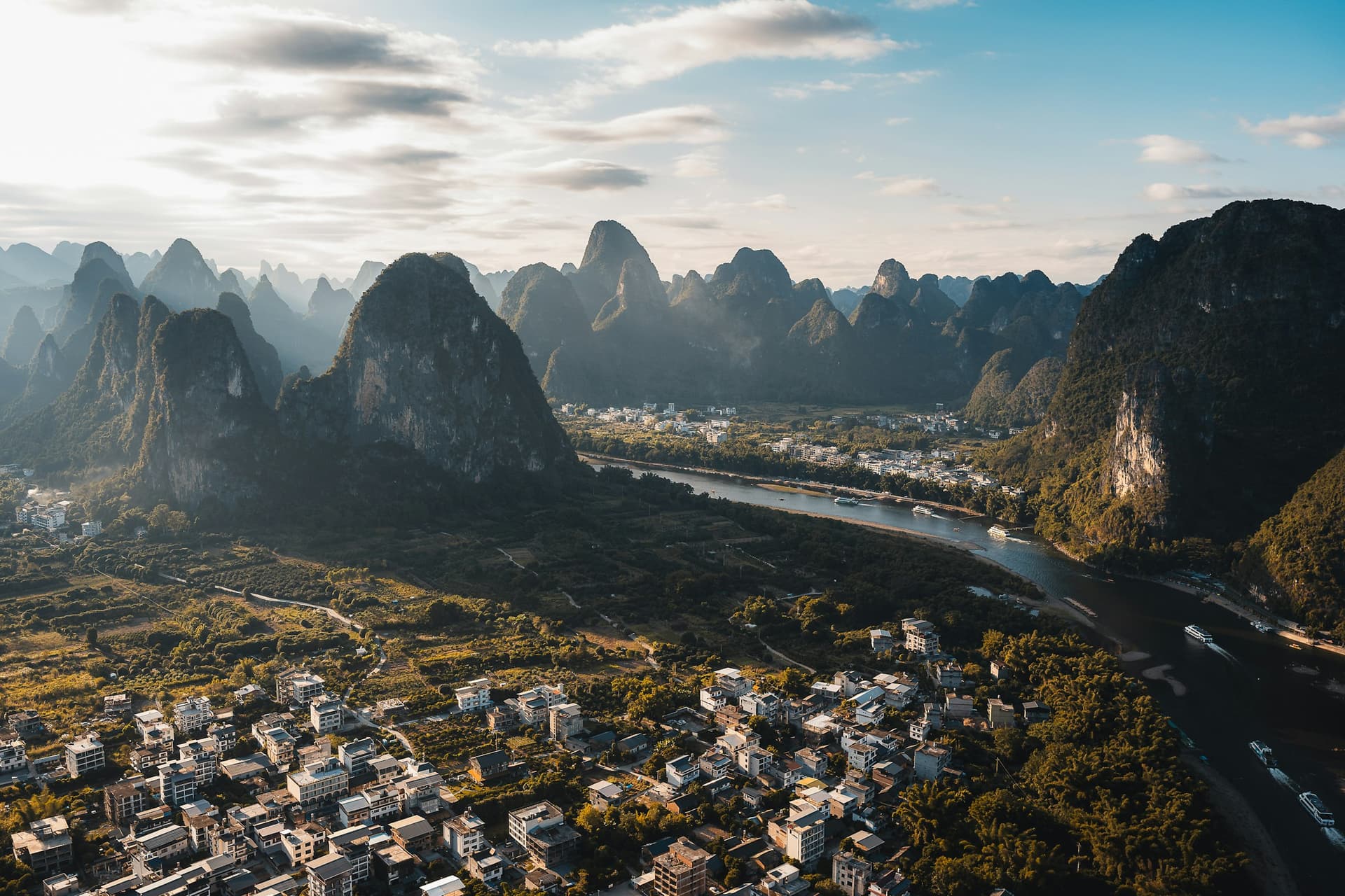
Try it here first: no app, no account, and the finished itinerary lands in your inbox. The app itself is on the App Store, with Android next.
